Sacca di Goro, Po di Goro, Valle Dindona, Foce del Po di Volano (IT4060005)
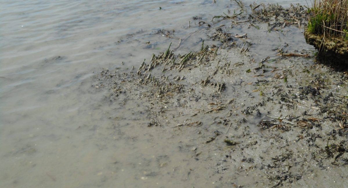
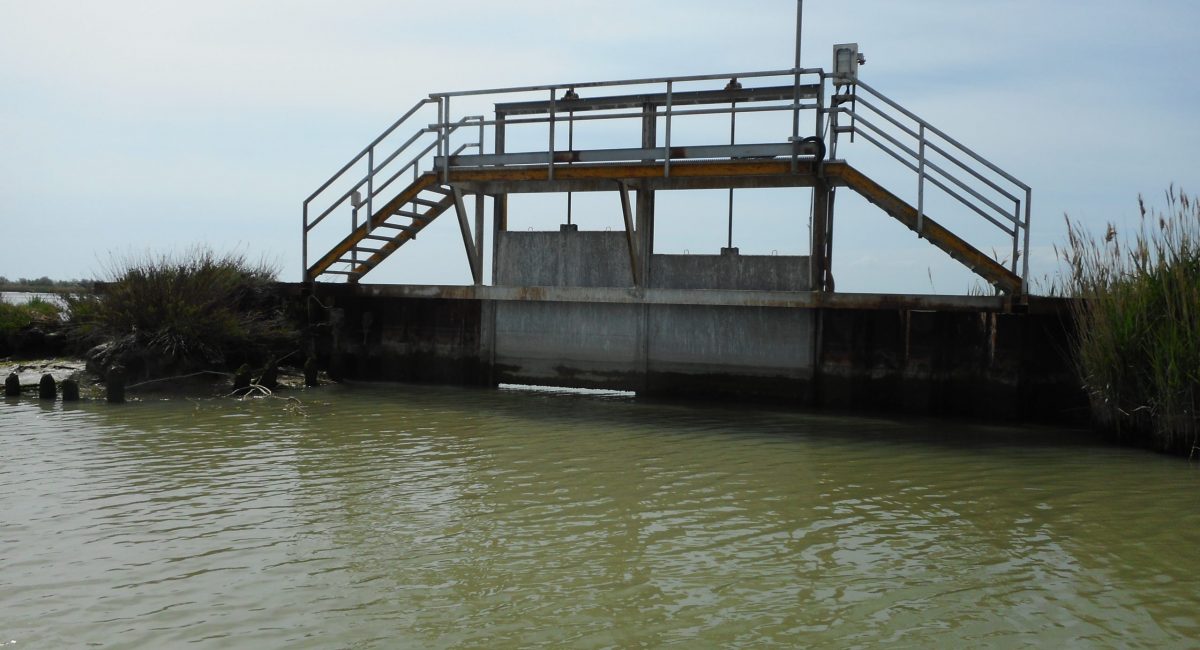
The Sacca di Goro is a shallow-water lagoon of the southern Po River Delta approximately triangular inshape with a surface area of 26 Km2, an average depth of 1.5 m, and it is connected to the sea by a large sea mouth. The lagoon is surrounded by embankments a part the west-southern border. The main freshwater inputs are the Po di Volano River (approximately 350 x 106 m3 yr-1), the Canal Bianco and Giralda, which have approximately the same discharge rates (20-55 x 106 m3 yr-1). Freshwater inlets are also located along the Po di Goro River and are regulated by sluices. There are no direct estimates of the freshwater input from the Po di Goro, which is usually assumed to be equivalent to that of the Po di Volano. The freshwater system is mostly located in a subsident area and is regulated by a system of pumping stations (scooping plants). The fresh water or hydraulic residence time oscillates monthly between 2.5 and 122 days with a mean value of 24.5 days, whereas the water exchange time ranges from 2 to 4 days. The tidal amplitude is ca 80 cm. The bottom of the lagoon is flat and the sediment is alluvial mud with high clay and silt content in the northern and central zones. Sand is more abundant near the southern shoreline, whilst sandy mud occurs in the eastern area. The climate of the region is Mediterranean with some continental influence (wet Mediterranean). Precipitation is approximately 600 mm yr-1, with late spring and autumn peaks. However, this pattern is undergoing significant changes with an increase of short-term intense events The Sacca di Goro is, from an environmental point of view, very important because it is a remnant of a very common coastal lagoon typology before the great reclamation carried out in the last 150 years. The ecological peculiarities of this environment allow the establishment and presence of important plant and animal communities. In the area of the Valle di Gorino and the border between the Sacca and the Po di Goro, the most widespread marsh formation is Phragmites australis. In the deeper areas of the Sacca, there is a submerged vegetation dominated by algae (Sint. Ulvetalia). On soft and muddy bottoms, settling algal populations of green (Ulva rigida) and red (Gracilariopsis spp., Gracilaria spp.) algae, on hard substrates green filamentous Enteromorpha compressa is found instead. The submerged vegetation is poor in species, but it reaches enormous amounts of biomass, and in these communities a large number of planktonic and benthic animals live. In more sheltered waters there were once submerged seagrass meadows (sintaxon Ruppietalia); seagrass (Ruppia cirrhosa) have disappeared and only the algal component has remained (Ulva, Chaetomorpha, Cladophora, Ceramium). In the area between Goro and Gorino, near the embankment of the former Valle Vallazza, Gracilaria verrucosa (red algae) is common. In the boundary line between the Sacca and the Scanno, on silty clayey sediments and in the absence of disturbance from the waves a halophilous and alotolerant vegetation is established: 1) community of halophytes pioneers dominated by Salicornia veneta a species endemic of the Upper Adriatic (Sint Salicornietum venetae) with high naturalistic value; 2) meadows of Puccinellia palustris (Sint. Limonio narbonensis-Puccinellietum festuciformis) generally poor of other species including Aster tripolium (high naturalistic value); 3) salt meadows with Juncus maritimus (Sint Puccinellio festuciformis-Juncetum maritimi) accompanied by Aster tripolium, Limomnium serotinum, Puccinellia palustris; 4) dense meadowss dominated by Elytrigia atherica on the summits of the bumps. In its central part and near the sea mouth to the sea, the Sacca di Goro is an important area for shellfish. The Valle di Gorino (the easternmost part of the lagoon where this project will be implemented) is far and not interested from shellfish farming areas.
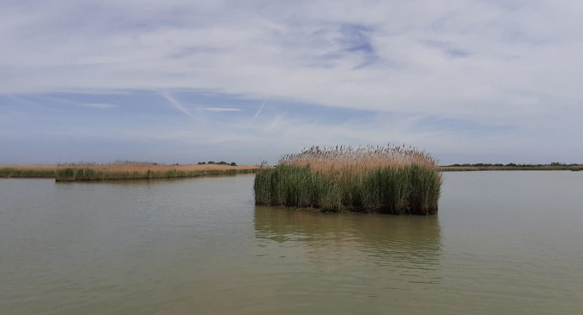
The project will be implemented in the area of the site known as “Valle di Gorino” located in the Eastern part, the area in which the seagrass meadows were detected up to the late ’90. There, the submerged vegetation habitat (Ruppia cirrhosa prairie) has been reduced enormously: the Ruppietum cirrhosae in 1993 had a coverage of about 270 ha, while in 2005 there were only 4 ha, for a reduction of over 98% in just 12 years (Gaglio et al, 2016). The cause of the disappearance is attributable to the deteriorated environmental conditions of that area (Viaroli et al. 2005. Recent environmental restoration works carried out through LIFE13NAT/IT/000115 have led to significant improvements in the environmental conditions of the Sacca, and in particular of the Valle di Gorino (LIFE13NAT/IT/000115 Progress Report). The SCI IT4060005 “Sacca di Goro, Po di Goro, Valle Dindona, Foce del Po di Volano” is characterized by areas with a high level of wilderness compared to the surrounding area, and hosts numerous protected habitats and species. The priority habitat 1150* Coastal lagoons currently covers about 76% of the Natura 2000 habitats of the site, and in the Emilia-Romagna Region the site preserves about 15% of this habitat, besides being the only natural lagoon open with direct exchanges with the sea not regulated by human structures. In the site is on course the LIFE13NAT/IT/000115 which targeted water circulation as main threat to the habitat 1150*, and up to now proved to be successful, since anoxic crisis did not occur in last five years Anyhow the project networking action involved also a know-how experience with the LIFE12 NAT/IT/000331, and therefore gradually became clear that the further action for the habitat quality was the seagrass recovery, since in the last years nothing was done for these species.
The lagoon of the Po river delta, even if located in different Natura 2000 sites all receive freshwater inputs from the wide Po river basin/district. All the Italian site are inside the same Man and Biosphere Reserve – MAB UNESCO named Delta del Po, officially recognized in the year 2015.